Gouda.
WBN, KVA Dordrecht, Stp. Gouda, Vordere Wasserstellung, Ringdijk, position 565.
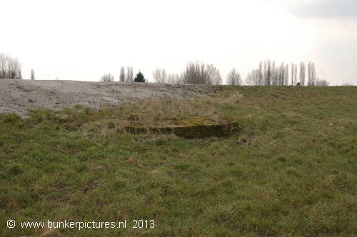
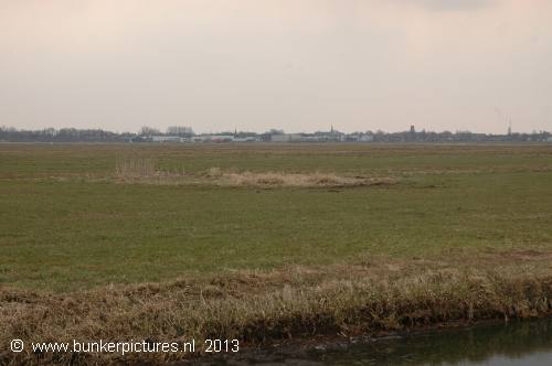
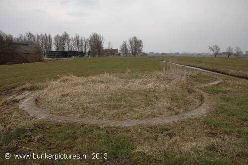
Just outside Gouda, near de Julianasluis at the Oost Ringdijk nr 1, you find the remains of an gun emplacement.
It is only visible in the wintertime, otherwise it will be overgrown by grass.
Near the emplacement was (demolished in 2012) also a small building located that probably was a ammunition storage.
.
The "Erste or Vordere Wasserstellung" was a German line about 30-50 km's land inwards behind the dunes to slow down advancing enemy troops. In case of a landing on the Dutch coast and a break trough, they could fall back on this prepared stopping line from Amsterdam-Alphen a/d Rijn-Gouda-Dordrecht-Moerdijk-Roosendaal. The Germans used the technique of inundation, by setting parts of the land underwater about 60cm deep. They also made light defence objects like small gun emplacements, barbed wire lines and mine fields to close the gaps in between.
Types:
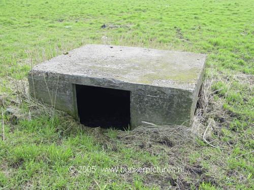
1x Gun emplacement for 4,7cm PAK.(version: unknown, is covered)
1x Fa ammo storage (demolished)